

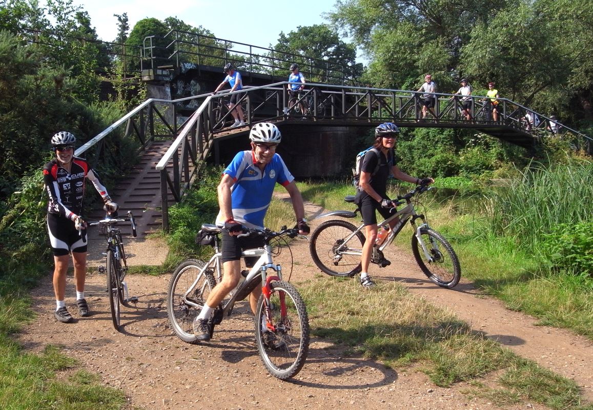
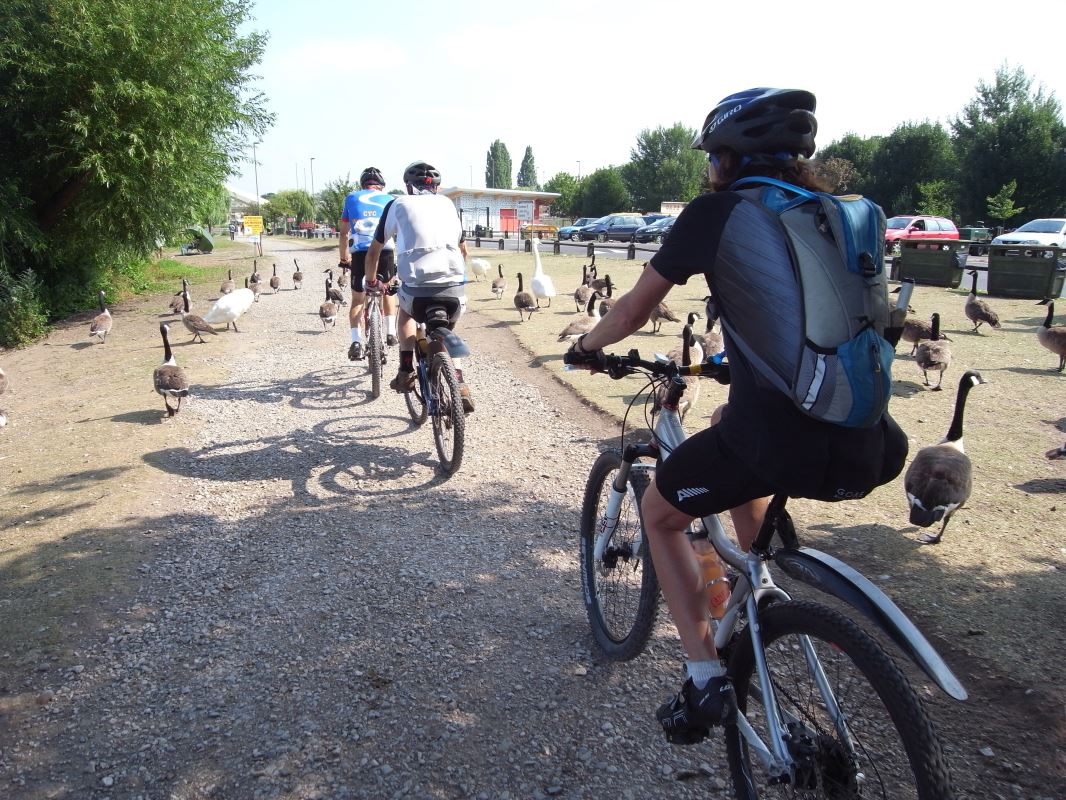
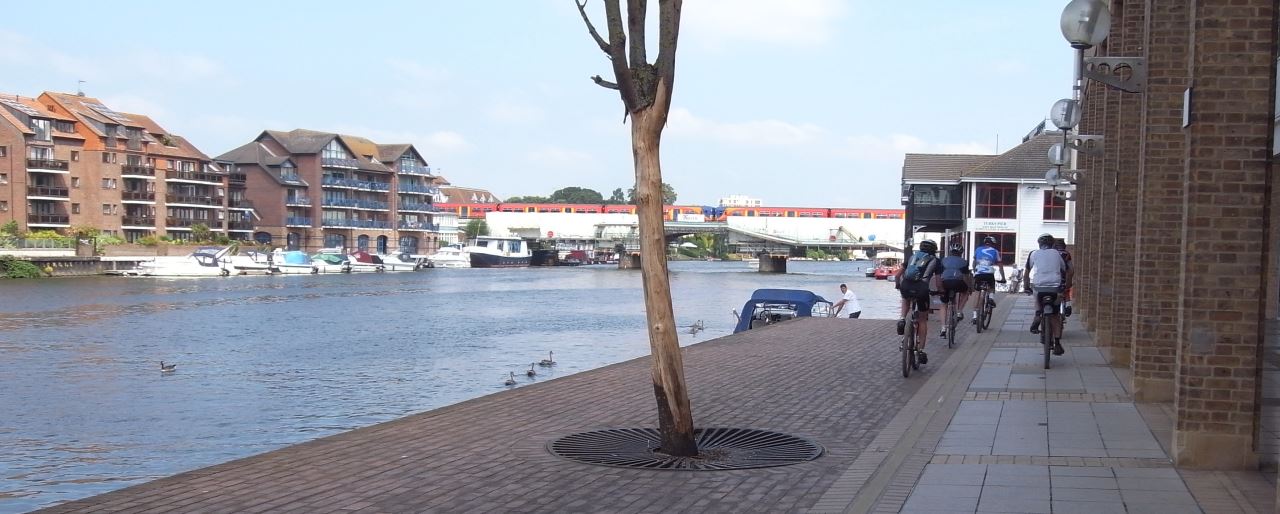
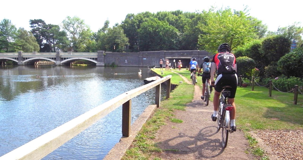
Our annual trip up the Basingstoke Canal / Wey Navigation to the Thames, then along the river to Richmond took place on one of the hottest days of the year. Very little tarmac was encountered, otherwise it would possibly have been necessary to comment on things like melting tarmac; instead suffice to say that the dust rose as we sped past, first the six members of ‘Group 4’, followed closely by a larger number of Group 3 riders who did more or less exactly the same route. This included a circuit of Richmond Park where the only hill of the day was encountered – two in fact if you look at the profile of the route on Garmin (http://connect.garmin.com/course/7359524). Thanks to John C for this. Rico’s Group 1 members took a different route but we all ended up in the same pub – The Anglers in Twickenham – for an expensive beer and sandwich.
Thanks to John M and Laurie for leading the groups; it’s fair to say, I think, that a great time was had by all.

Ride distance 40 miles


Hi Mark(s), it seems you need to have a Garmin account and be logged in to see the route. Try this link to Google: http://cyclemeter.com/01a40edf4de82729/Cycle-20140723-0931
John
Seems to work OK for me, Mark. I’ve just re-tested it. Do you have a Garmin account? If not, this may possibly affect it. It’s a track that John Child made so I don’t appear to have the ability to ‘play’ with it like I would if it were mine: like I could download the track and upload it into Ride with GPX which might work better for you.
If John reads this, he may be able to comment, but, that aside, you can see where the route went from the image.
Mark
I get an error message at your link.
http://connect.garmin.com/course/7359524